


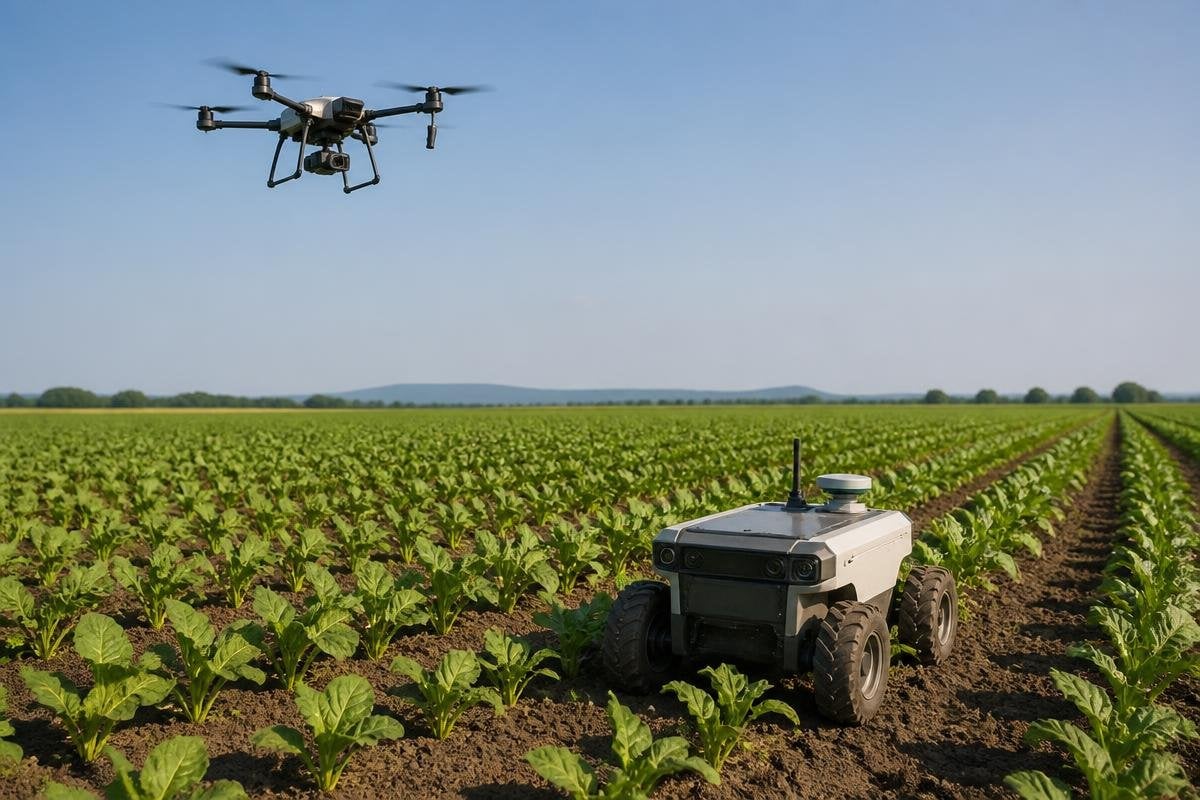
A drone can scan a field in one flight, while a ground robot can inspect the plants at leaf level. Used together, they split farm work by distance: the drone sees the whole crop, and the ground robot checks the places that need a closer look.
- Drones map crop growth from above
- Ground robots inspect rows and soil close to the plants
- Shared maps help people send machines to the right place
The drone builds the field map
The work starts in the air. A drone flies over a field and takes images with a standard camera or a multispectral camera, which records light beyond what the human eye can see. The images can show gaps in planting, standing water, worn areas, or changes in plant growth.
Those images become a field map. The map gives a farm team a broad view without sending a person down every row, so it helps narrow the search before a ground robot leaves its charging point.
From the air, the drone covers ground quickly because it does not need to follow every plant. Its weakness is distance. An image may show a patch with poor growth, but it cannot always show whether the cause is dry soil, pests, weeds, or a damaged stem.
The ground robot checks the cause
The ground robot works closer to the crop. Cameras, LiDAR, and other sensors help it follow rows, measure plant spacing, inspect leaves, or look for weeds near the stems.
LiDAR measures distance with laser pulses, so the robot can use it to judge the space around plants and avoid obstacles.
The drone’s map can mark an area for inspection. The ground robot then travels to that area and gathers closer images or sensor readings. That handoff cuts down the amount of field the ground robot needs to inspect, which matters when its battery, speed, or route length limits the work it can finish in one run.
A ground robot can also act on what it finds. Depending on its tools and software, it may remove a weed, apply a small amount of treatment, collect a sample, or send the location to a worker. The machine needs a clear task and a safe way to stop when the crop, soil, or route does not match its map.
The shared data matters more than the flight
The two machines need a common way to describe location. A drone map might mark a problem by field coordinates, while the ground robot needs a route it can follow between rows. Software must match those locations despite changes in lighting, plant height, weather, and vehicle position.
The link between the machines can be wireless, or the data can move through a farm system after the drone returns. Either way, the result should be easy for a person to check. A map that marks a weak patch without showing when it was recorded or what the robot found leaves too much work for the farm team.
The handoff needs a record that ties each map to the machine and task that produced it. You can use farm robot reporting from Robot24.com to compare claims about sensors and routes before the plan meets a blocked row or weak signal.
Where the plan can fail
Weather affects both machines. Wind can shorten a drone flight or blur its images, while wet soil can stop a ground robot from reaching a marked area. Tall crops can hide the ground between rows, and uneven terrain can make route planning harder.
The map can also age quickly. A field may change after rain, irrigation, harvest work, or animal movement. The ground robot needs a way to detect a blocked route and pause instead of forcing its way through.
People still need to check the findings. A sensor can flag a change, but the farm team decides whether that change needs treatment, another scan, or no action. I’d buy this system for a farm that can act on its data, not for one that only wants a new dashboard.
A farm-ready plan
Before choosing a drone and ground robot, check these points:
- Name the task. Pick one job, such as weed checks or crop scouting, and define the result you need.
- Set the handoff. Decide how a drone finding becomes a ground-robot route, with field coordinates that match.
- Check the ground. Test the robot on the real soil, row spacing, slopes, and crop height it will face.
- Plan for bad weather. Set rules for wind, rain, low light, and wet ground before field work starts.
- Keep a human check. Give a worker a clear way to review images, approve treatment, and stop the robot.
The useful next step is a small field trial with one drone map and one ground inspection route. If the second machine reaches the marked area, finds the same issue, and gives the farm team a clear action, the two-machine plan has earned a larger test.